BUNCE ISLAND FORT

BUNCE ISLAND, SIERRA LEONE

Bunce is a 1600 feet uninhabited island lying approximately 20 miles up the Sierra Leone River from Freetown, the Capital city of Sierra Leone. Bunce Island was established as a slave trading station in 1670. From 1670 to 1728 two companies- the Gambia Adventurers and the Royal African Company of England ran Bunce Island one after the other. Bunce Island’s prosperity ran from 1744 to 1807 during private management by a consortium of London firms. At their slave trading heights British traders shipped tens of thousands of African slaves to the Americas from this place. The trading fort was subjected to attacks a number of times by other Europeans. Slave trading ceased on the island with the abolition of slace trade in 1808. It was however in the 1840 that the Bunce Island fort was finally abandoned. Bunce Island was declared a National Monument in 1948. (whc.unesco.org)

The Zamani Project spatially documented the Bunce Island Fort  in 2021.

Similar sites:
Elmina Castle (Elmina, Ghana), Fort Saint Jago (Elmina, Ghana), Fort Saint Sebastian (Shama, Ghana), Cape Coast Castle (Cape Coast, Ghana), Fort of São Sebastião (Mozambique Island, Mozambique), Castle of Good Hope (Cape Town, South Africa), Fort d'Estress (Ile de Gorée)

Funders

> The Saville Foundation

3D model of Bunce Island Fort

The model is created using terrestrial laser scans and photogrammetry. 68 terrestrial laser scans and 4500 photos were captured to document this structure. 

3D model of Bunce House

3D model of Dormitory & South Wall


Panorama Tour

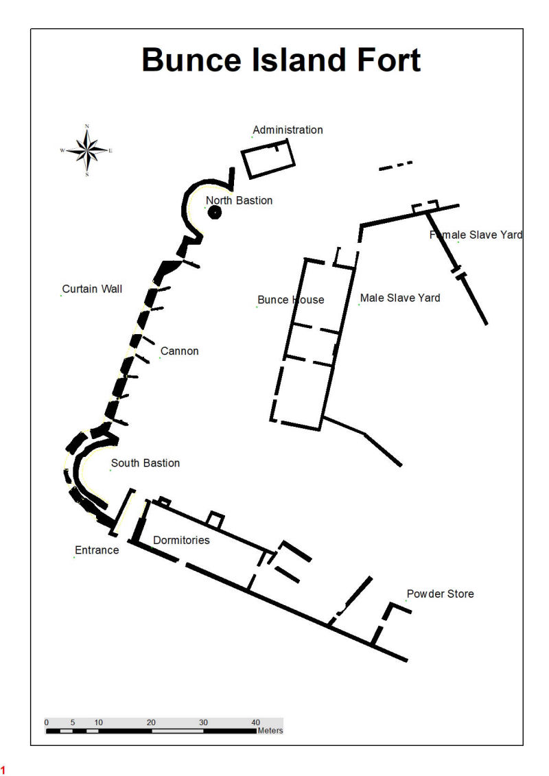
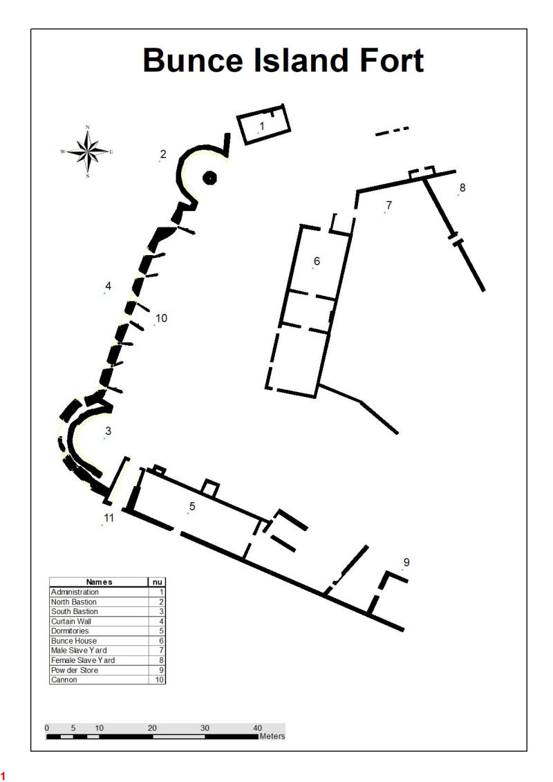
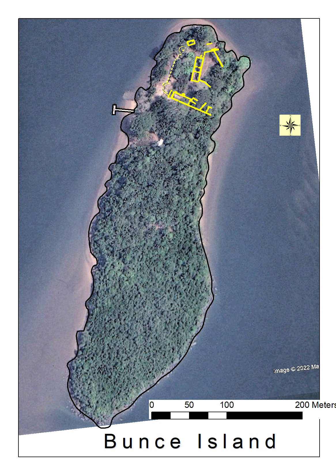
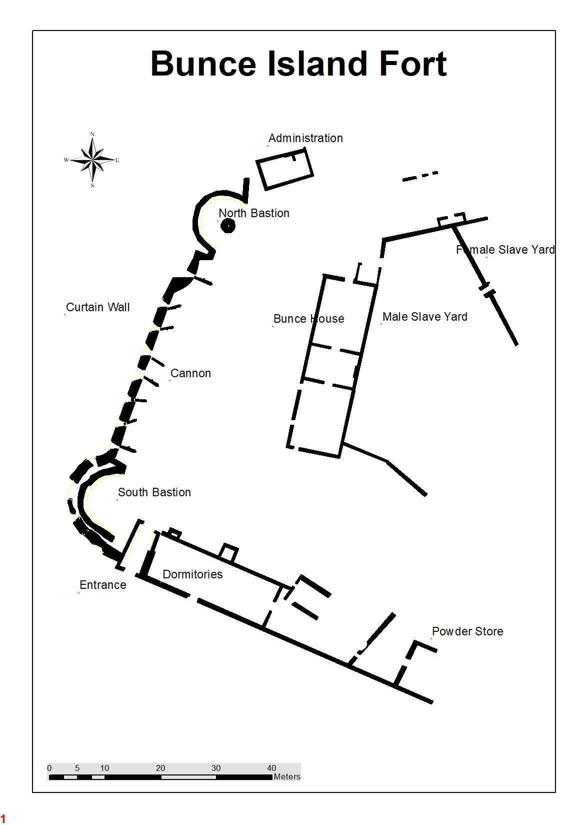
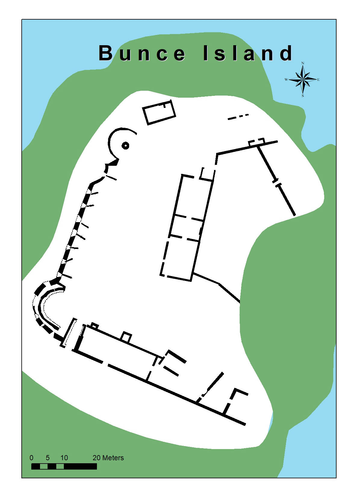
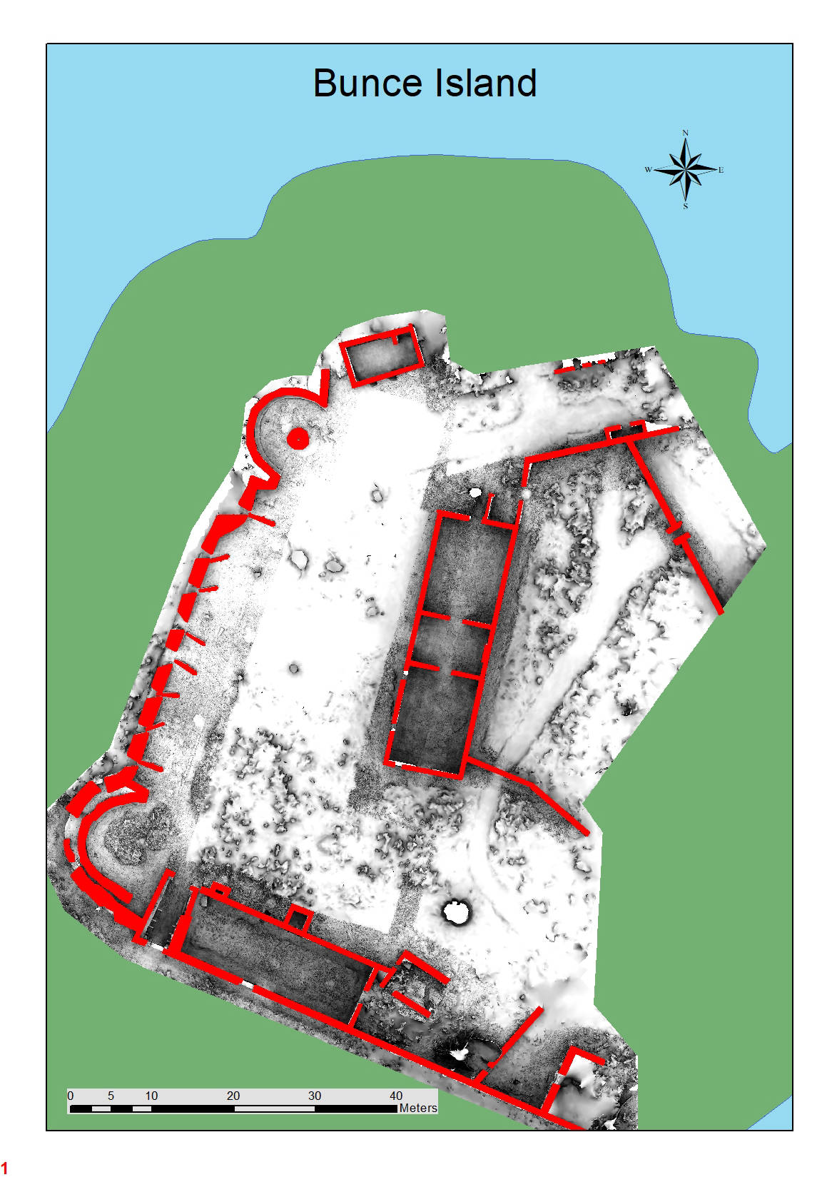
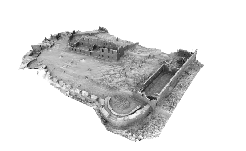
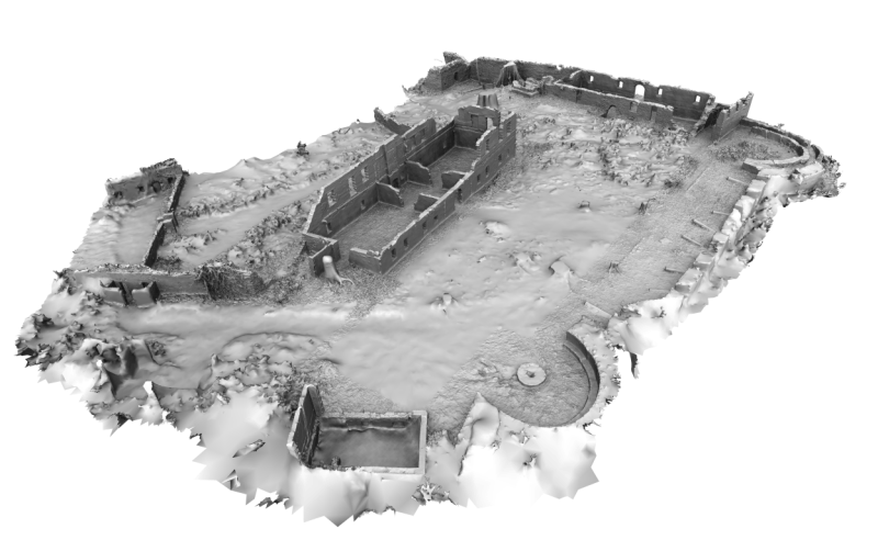
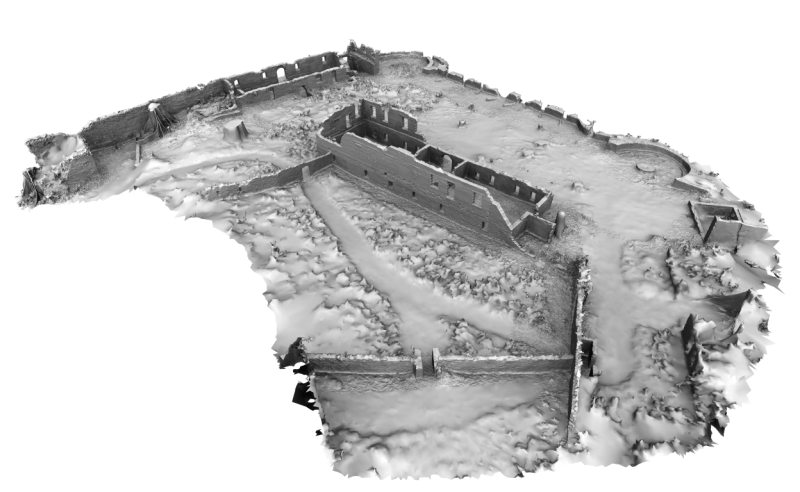
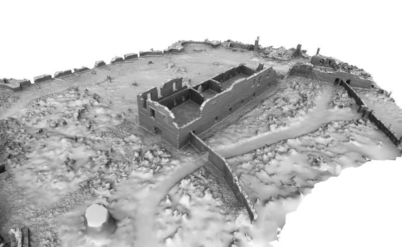
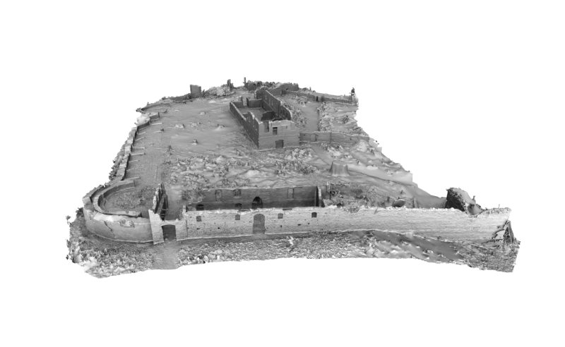
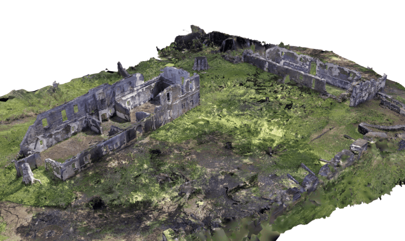
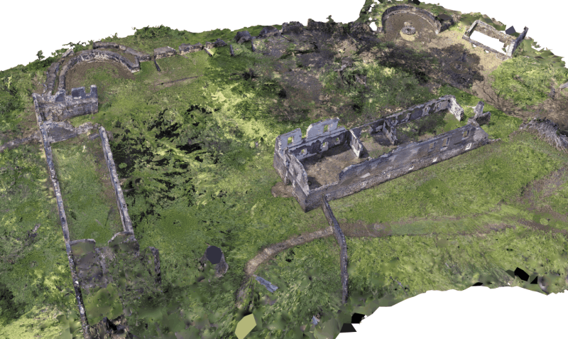
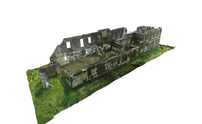
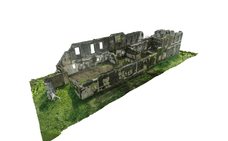
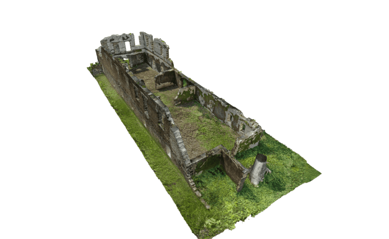
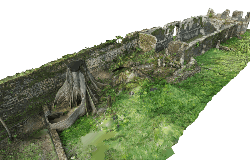
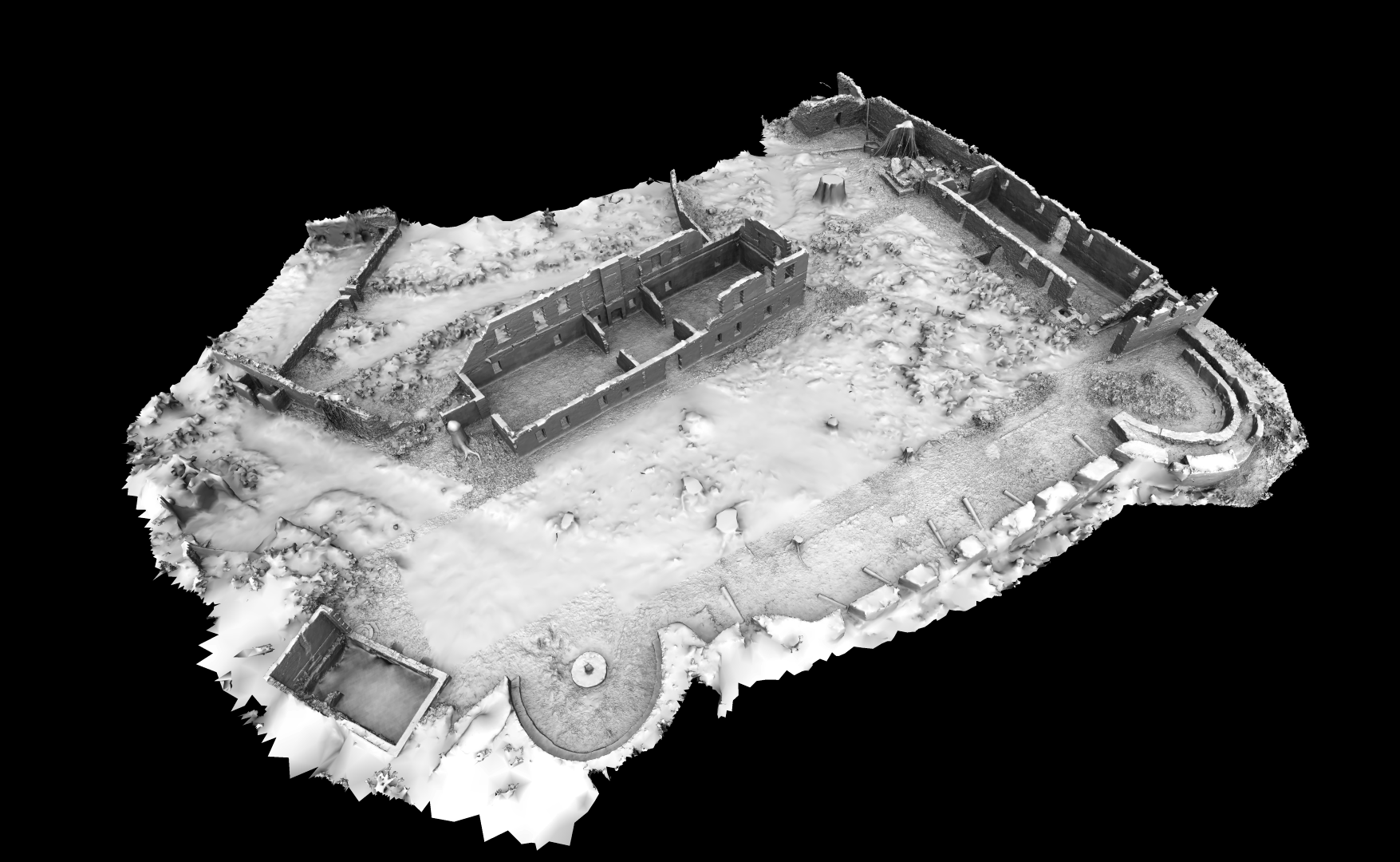
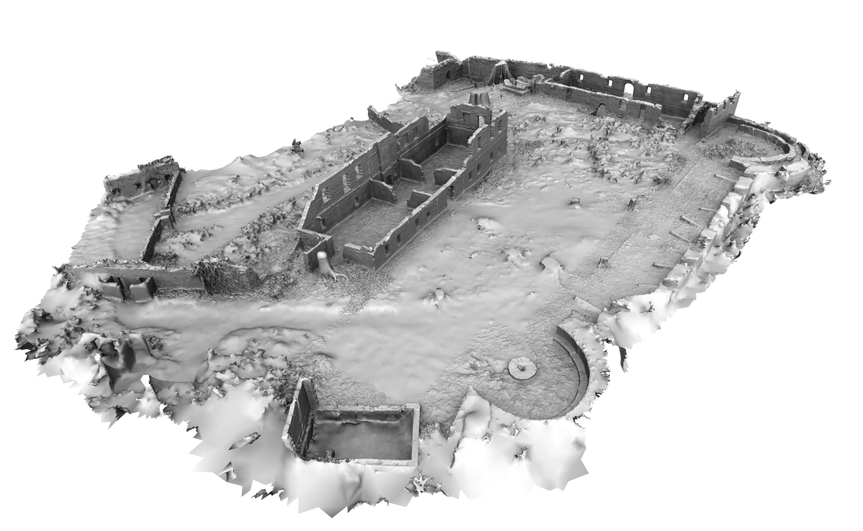
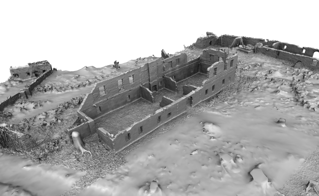
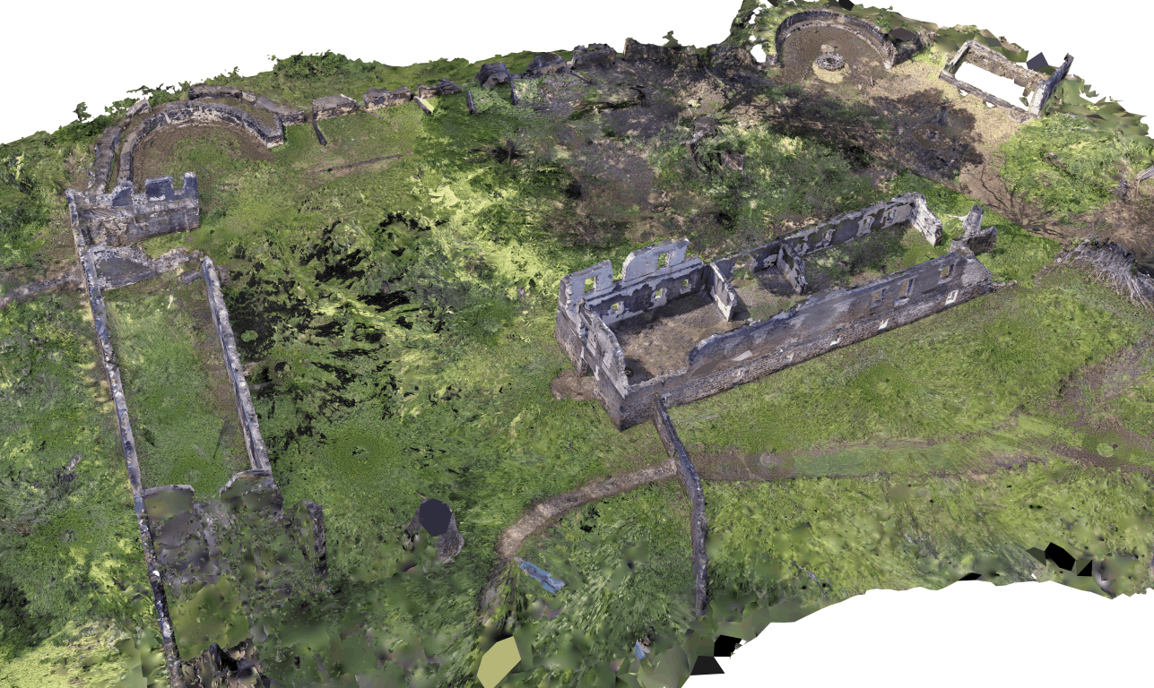
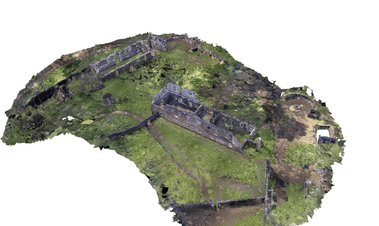
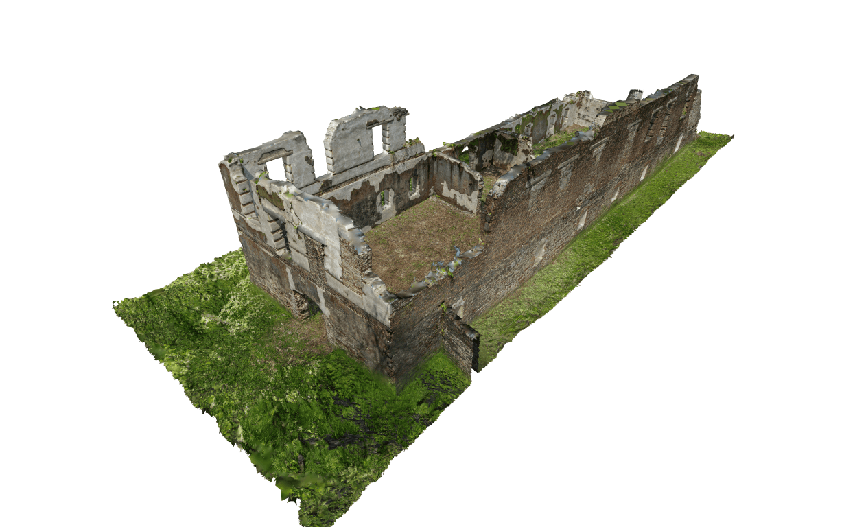
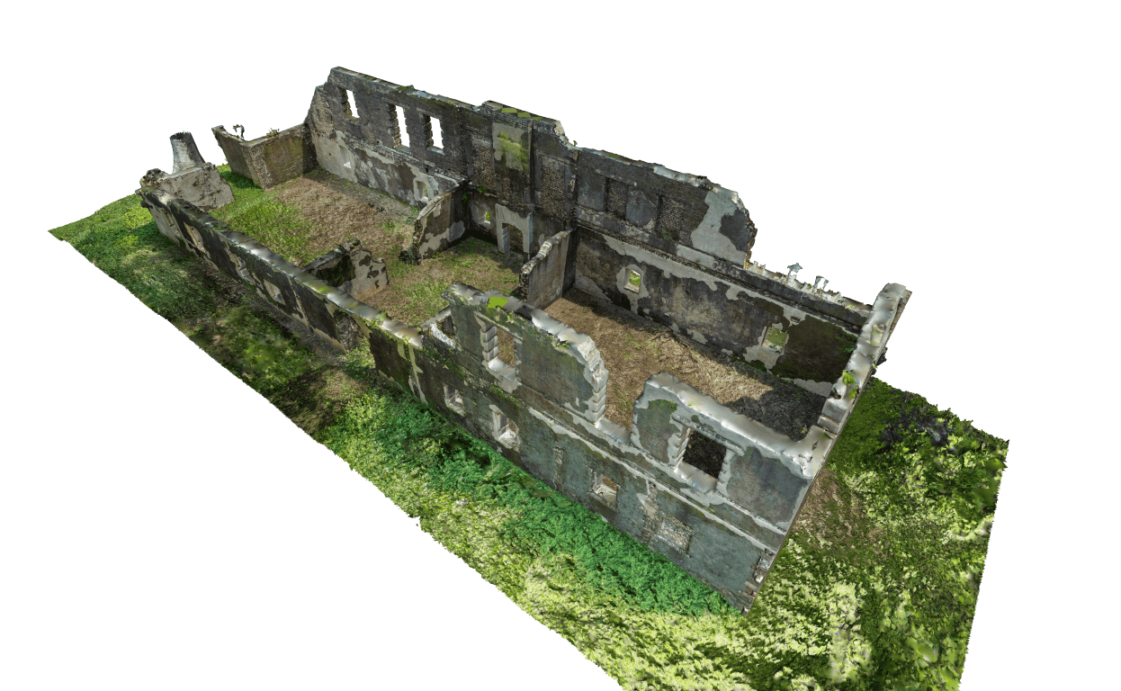
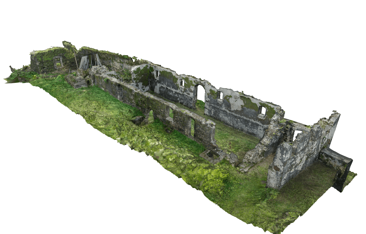
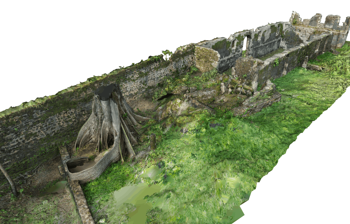
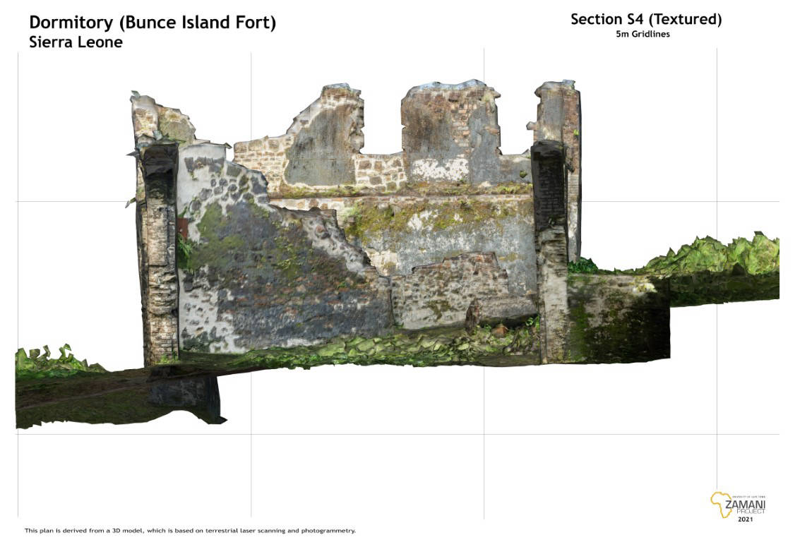
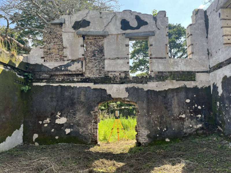
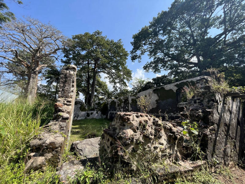
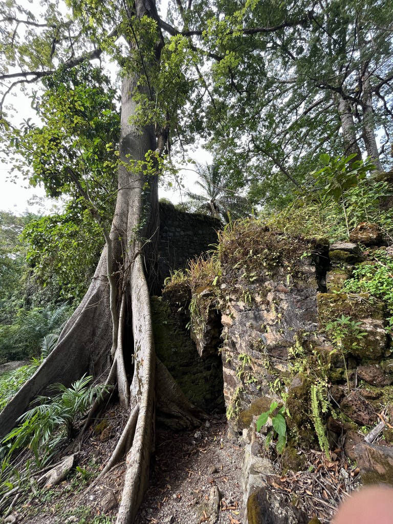
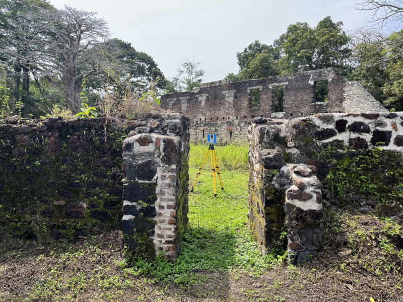
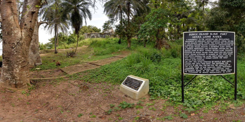
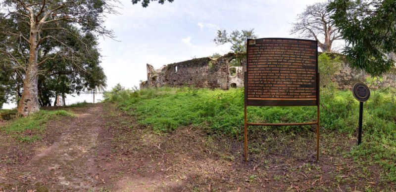
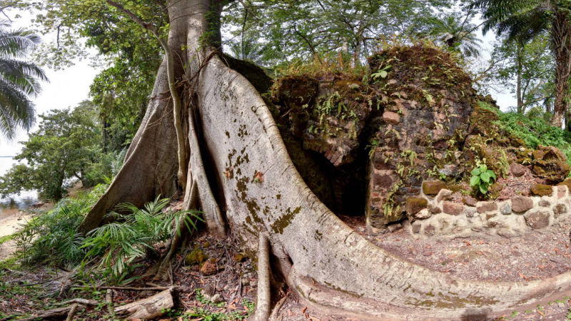
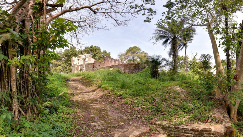
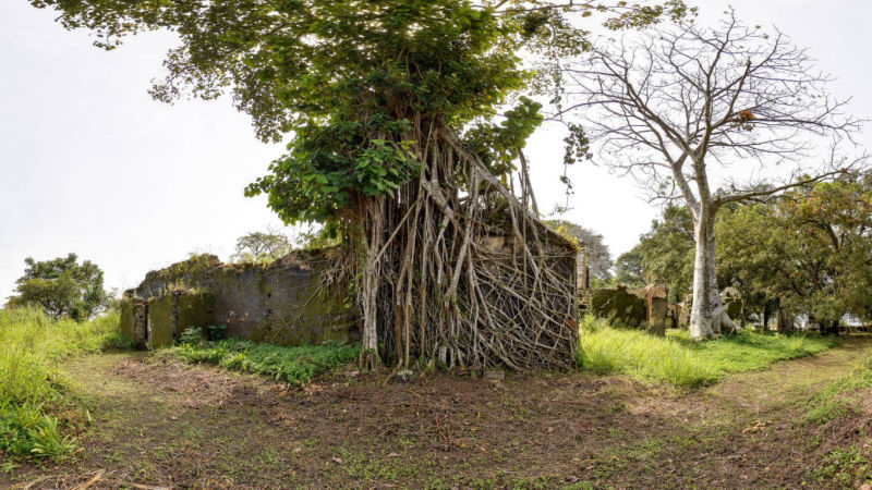
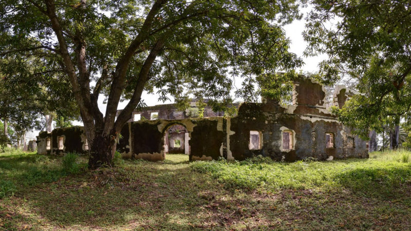
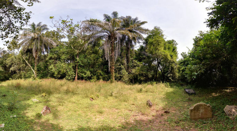
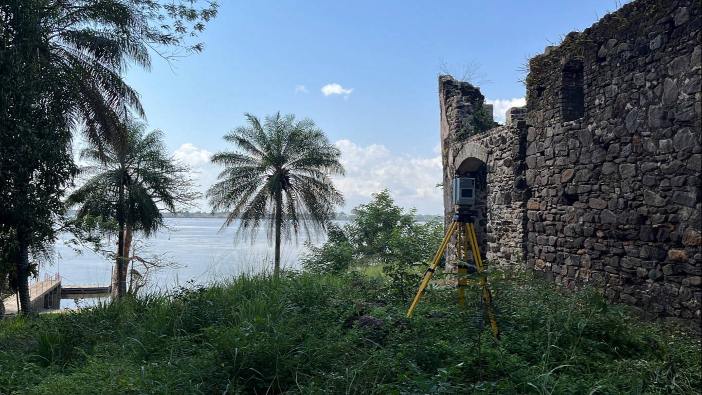
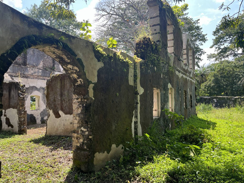
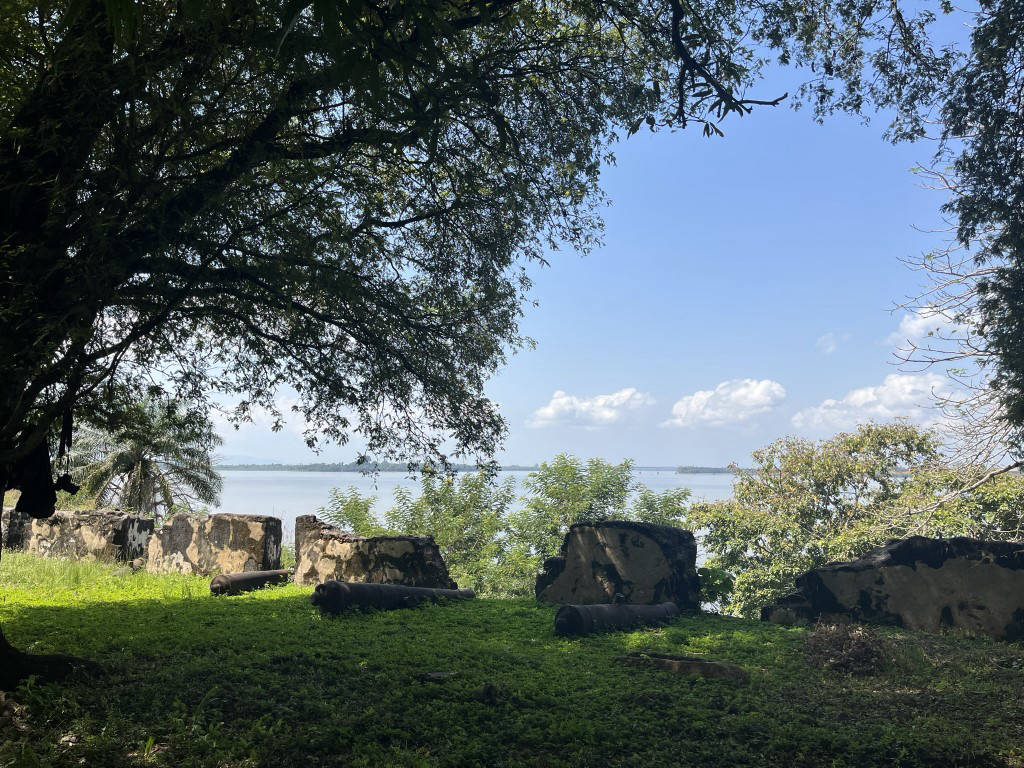
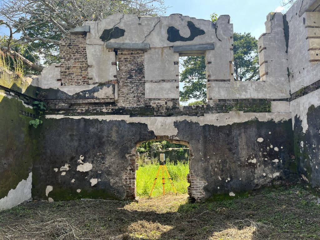
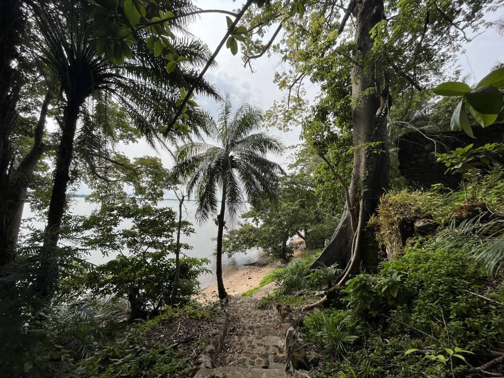
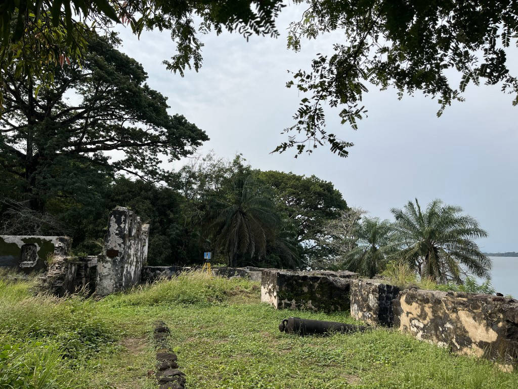
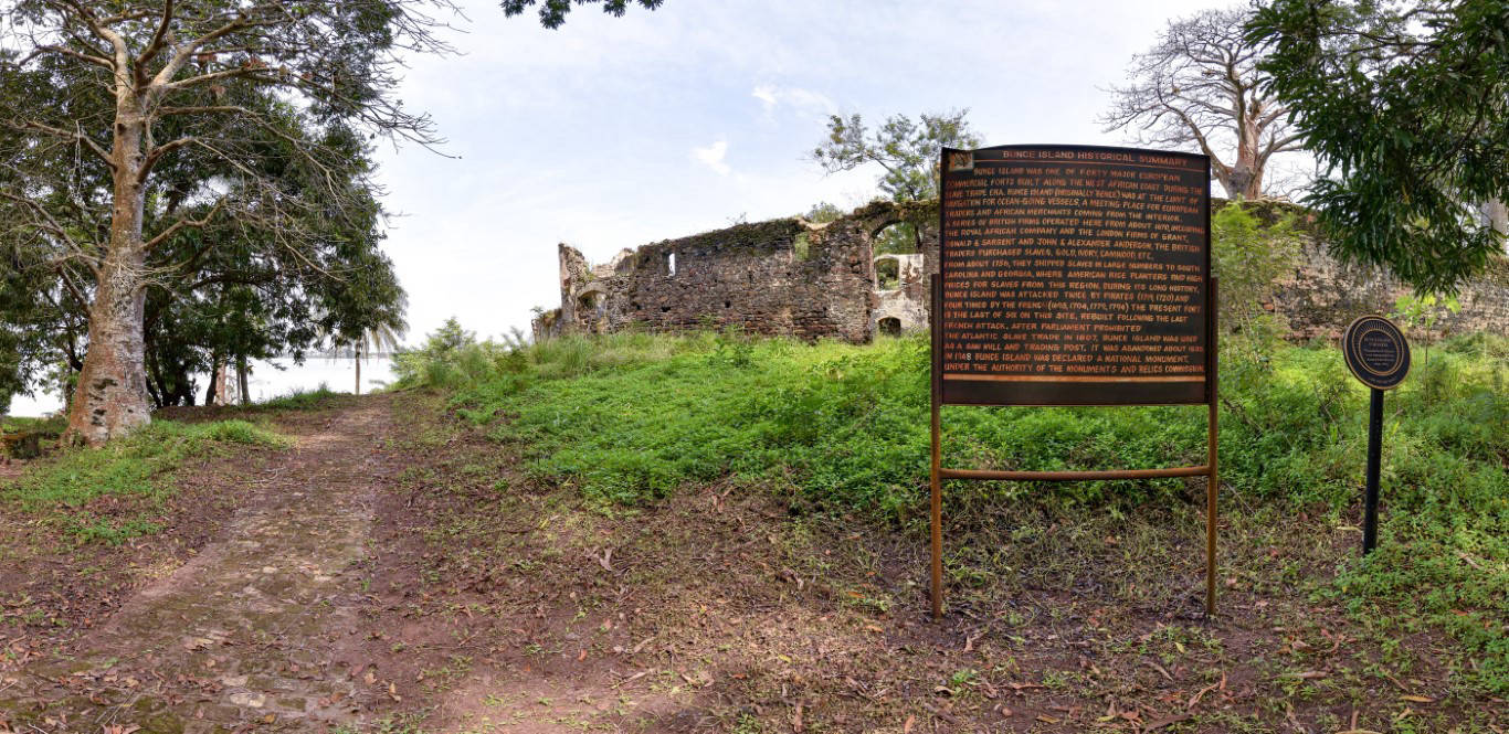
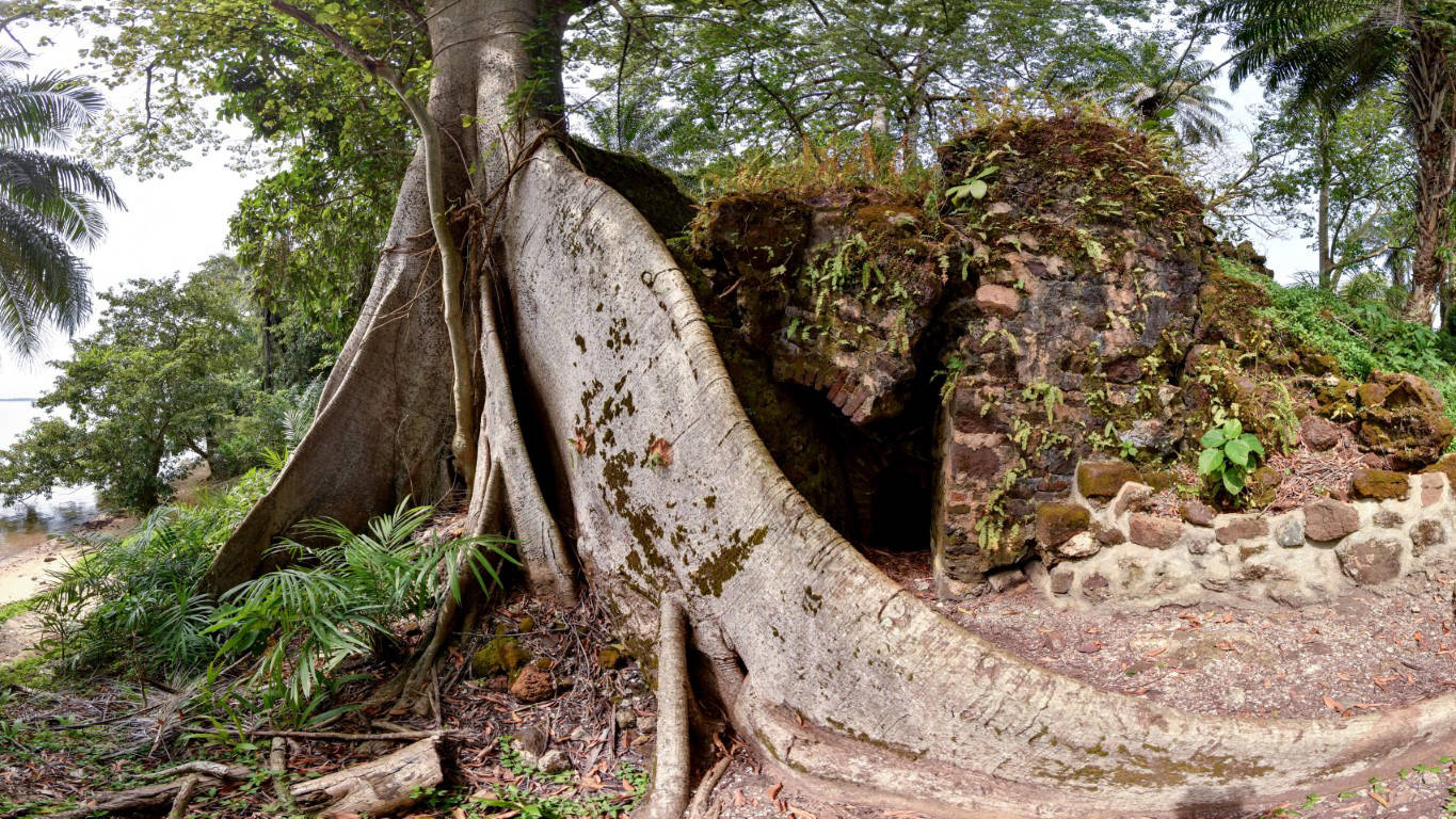
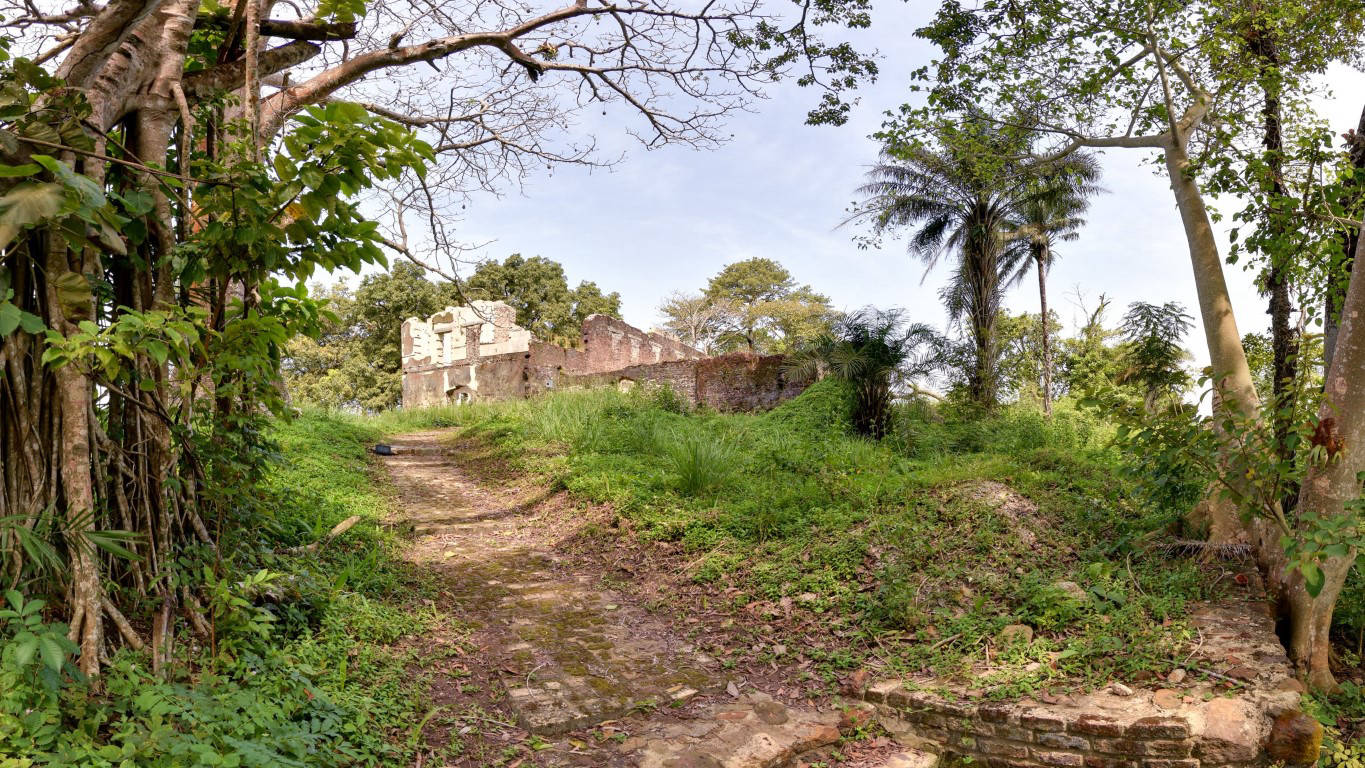
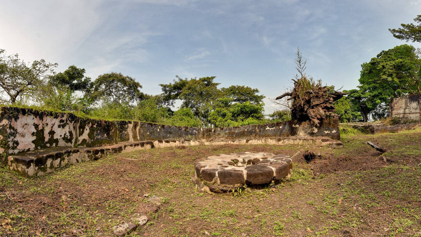
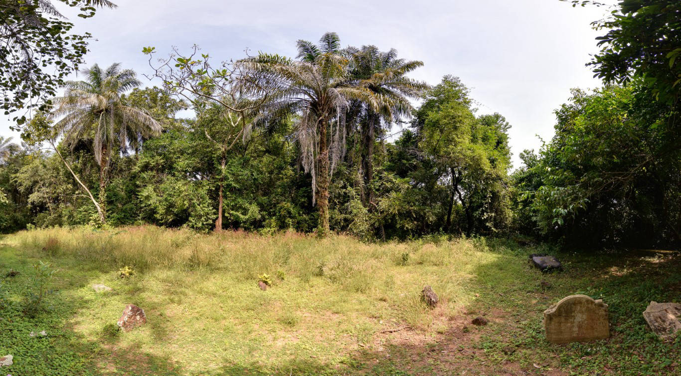
Panorama Tour of the Bunce Island Fort

Full dome panoramas capture a full 360-degree view from a single position. Individual full dome panoramas can be merged into a panorama tour, which allows a user to freely move from one panorama position to another.

>> back to the top <<

© Copyright 2021 Zamani Project - All Rights Reserved. Privacy Policy