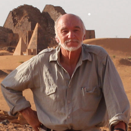
EM PROF HEINZ RÜTHER

Emeritus Professor, Geomatics 
Principal Investigator

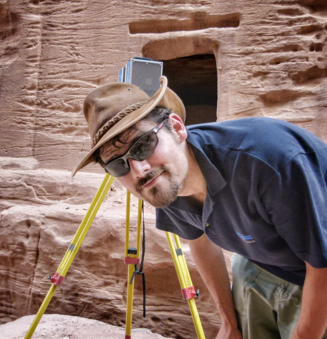
Heinz conceptualised what is now the Zamani Project in 2001, and has been the Principal investigator since 2004. His research interests lie in the area of digital photogrammetric and laser scanning for 3D-modelling of architectural structures and the documentation of heritage sites.
Heinz has enjoyed a long career in the field of Geomatics, and has worked on photogrammetric and surveying projects in Europe, Asia, the Middle East and most notably in Africa. From 1990 to 2007, he was the Head of the Geomatics Department at the University of Cape Town (UCT).

Heinz is a Fellow of numerous societies and councils, international and local, including the International Society for Photogrammetry and Remote Sensing (ISPRS), the South African Academy of Engineers and the University of Cape Town. He is a member of the South African Academy of Science and an Honorary member of the South African Geomatics Institute (SAGI). He was the Vice President of the African Association for Remote Sensing of the Environment (AARSE), and served both as a council member and Chair of the Financial Commission of the ISPRS.

He is a member of the South African Geomatics Council and has served on the Accreditation Panel of the Education Advisory Committee of the South African Department of Rural Development and Land Reform. He served as an external examiner at seven African Universities, and was Scientific Coordinator of the Lake Rukwa Basin Integrated Project in Tanzania. Numerous MSc and PhD research projects have been supervised by Heinz, and he has published over 100 papers in scientific journals, presented papers at numerous international conferences and presented speeches and keynotes around the world. 

RALPH SCHRÖDER, Dipl.-Ing.

Professional Land Surveyor (Germany)
Chief Scientific Officer

Ralph Schröder holds a degree as a Diplom-Ingenieur, which he obtained from the University of Bonn (Germany) in 2001. His degree is equivalent to a Geomatics Master's degree. In 2003, he graduated as a "Vermessungsassessor" (surveying assessor or land surveyor) at the District Government of Düsseldorf.

Ralph pursued further education in Geographic Information Systems (GIS) at the FGE Training Center in Paderborn (Germany) and successfully became a qualified GIS-Engineer in 2005.

In 2005, he joined the African Cultural Heritage Sites and Landscapes Project, now known as the Zamani Project, as a senior scientific officer at the University of Cape Town. In 2014, he was promoted to the position of Chief Scientific Officer.

Ralph's responsibilities encompass a wide range of expertise, including Geographic Information Systems (GIS), terrestrial Laser-Scanning, conventional surveying, creation of 3D models, sections, and plans derived from these models, development of virtual tours (Panorama tours), and web development for the Zamani Project website.

In addition to his involvement in the planning and execution of 3D laser scanning and GPS survey fieldwork, Mr. Schröder has also provided instruction on the use of Geographic Information Systems (GIS) during various international field trips to local government authorities.

ROSHAN BHURTHA, BSc

Electrical Engineer
Chief Scientific Officer

Roshan has been with the Zamani Project for 13 years. His role in the team has centered around creating textured 3D computer models using data from terrestrial laser scans and structure from motion (SfM), and creating the panoramic photography used in the Zamani Project’s panorama tours. Other components of his work include writing software for the 3D modelling pipeline, and metadata creation and management. Roshan teaches programming in the Geomatics department at UCT.

Roshan has done extensive fieldwork to gather spatial data in 14 countries in Africa, the Middle East and Asia. His long term interests include the fields of machine learning, AI and 3D printing and modelling. 

BRUCE McDONALD, BSc.

Professional Land Surveyor
Chief Scientific Officer

Bruce completed his studies in Geomatics at the University of Cape Town in 2006, and obtained Professional status as a Land Surveyor in South Africa a few years later. From 2007-2011 he practiced as a land surveyor in Cape Town and worked on many projects including cadastral, topographical, photogrammetric and engineering surveys.

In 2012 Bruce worked in the Canadian oil industry, surveying and establishing a new oil processing plant, and in 2013 he moved to Scotland to work on topographical and engineering surveys. In 2015, he performed dimensional control surveys in the construction of oil rigs on the east coast of Scotland. On his return to South Africa, Bruce continued his surveying practice, and began assisting the Zamani Project team in 2017, first on a part-time basis and now full time.

Bruce is involved with 3D laser scanning, aerial photography using drones, and many of the other tasks required in digital spatial documentation of architectural structures, heritage sites and historical landscapes. Bruce has been a chief scientific officer at the Zamani Project since 2019.  

PROF WERNER STEMPFHUBER

Professor, Geodesy
Zamani member

Werner is a Professor of Applied Geodesy at the Beuth Hochschule für Technik Berlin (University of Applied Sciences in Berlin).

After a sabbatical year at the University of Cape Town Geomatics Department in 2016-17, he developed an interest in the spatial documentation of heritage sites. Since then, he has become a valuable ambassador of the Zamani Project. Although Werner is based remotely in Germany, he also accompanies the Zamani Project team on field campaigns, and assists with the allocation of funding to document specific sites.  

CHRISTOPH HELD,MSc

Application Engineer
Zamani member

Christoph has been a team member at the Zamani Project since its inception in 2004. He was a chief Scientific Officer until he left South Africa in 2012 to join the laser scanning manufacturer Zoller and Fröhlich (Z+F) in Germany.

Christoph (and the latest scanners from Z+F) still joins the Zamani team on some field campaigns, and Z+F assist the Zamani Project with technical support and equipment.  

>> back to the top <<

© Copyright 2022 Zamani Project - All Rights Reserved. Privacy Policy